Hauran Summary
STEPBible TIPNR
Hauran was a fertile region located east of the Sea of Galilee, mentioned as part of Israel's future boundaries (Ezk 47:16).
Region east of the Sea of Galilee
Loading book references…
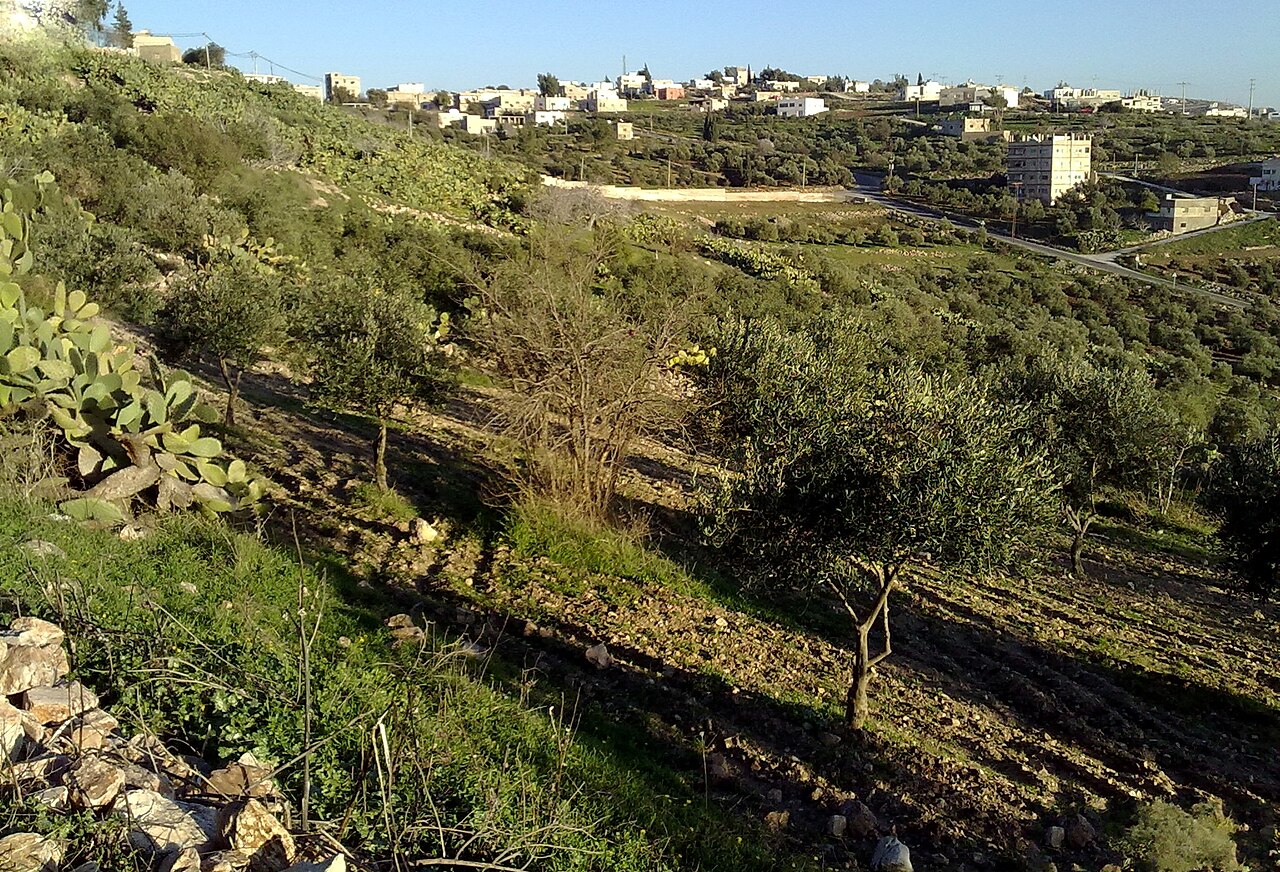
Hauran was a fertile region located east of the Sea of Galilee, mentioned as part of Israel's future boundaries (Ezk 47:16).
Hauran was a region situated east of the Sea of Galilee, known for its fertile lands. The prophet Ezekiel, in his vision of the restored land of Israel, described Hauran as part of the eastern border, between the territories of Damascus and Gilead (Ezk.47.16,18). This area was known for its rich basaltic soil, which supported productive agriculture. In the Hellenistic and Roman periods, Hauran was part of the Decapolis and later the province of Arabia Petraea. Today, Hauran is a region primarily located in southwestern Syria and parts of northern Jordan.
Cave-land, mentioned only in Ezek. 47:16, 18. It was one of the ancient divisions of Bashan (q.v.), and lay on the south-east of Gaulanitis or the Jaulan, and on the south of Lejah, extending from the Arnon to the Hieromax. It was the most fertile region in Syria, and to this day abounds in the ruins of towns, many of which have stone doors and massive walls. It retains its ancient name. It was known by the Greeks and Romans as “Auranitis.”
Sources: OpenBible.info Bible Geocoding Data (CC BY 4.0, a0e8903) · STEPBible TIPNR (CC BY 4.0, Hauran@Ezk.47.16-) · Theographic Bible Metadata (CC BY-SA 4.0, hauran_532)