Shepham Summary
STEPBible TIPNR
Shepham was a landmark on the northeastern border of the Promised Land, between Hazar-enan and Riblah (Num 34:10-11).
Landmark on the northeastern border of the Promised Land
Loading book references…
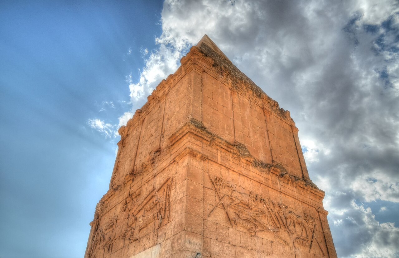
Shepham was a landmark on the northeastern border of the Promised Land, between Hazar-enan and Riblah (Num 34:10-11).
Shepham is mentioned in the description of the boundaries of the Promised Land, as given by God to Moses (Num. 34:10-11). It is listed as one of the landmarks on the northeastern border, situated between Hazar-enan and Riblah. The exact location of Shepham is uncertain, but it was likely a place in the region of Damascus, east of Mount Hermon. The name "Shepham" may be derived from the Hebrew word "sapham," meaning "to sweep bare," possibly indicating a barren or windswept area. The inclusion of Shepham in the boundary description highlights the extent of the territory God intended for the Israelites to possess and the importance of defining the limits of the Promised Land. These boundaries served as a guide for the allotment of the land among the tribes and a reminder of God's faithfulness in fulfilling His promises to His people.
A treeless place, Num. 34:10, 11: “The coast shall go down from Shepham to Riblah.”
Sources: OpenBible.info Bible Geocoding Data (CC BY 4.0, a9ba60c) · STEPBible TIPNR (CC BY 4.0, Shepham@Num.34.10-) · Theographic Bible Metadata (CC BY-SA 4.0, shepham_1073)