Zered Summary
STEPBible TIPNR
The Zered Brook marked the end of Israel's 38 years of wilderness wanderings until they crossed it to enter Moab .
A brook marking the end of Israel's wilderness wanderings
Loading book references…
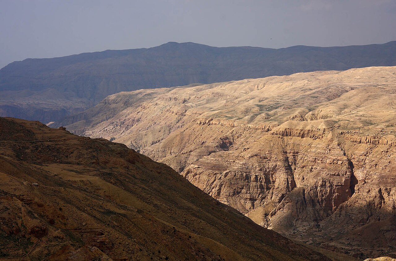
The Zered Brook marked the end of Israel's 38 years of wilderness wanderings until they crossed it to enter Moab .
The Zered Brook (also called the Valley of Zered or the Brook of Zered) was a significant geographical marker in Israel's journey from Egypt to the Promised Land. After wandering in the wilderness for 38 years, the Lord told the Israelites to cross the Zered Brook, signifying the end of the wilderness wanderings for that generation (Dt.2:13-14). The crossing of the Zered marked the beginning of the conquest of the lands east of the Jordan. The Zered Brook flowed into the southeastern end of the Dead Sea, forming the boundary between Edom to the south and Moab to the north. It is probably to be identified with the modern Wadi al-Hasa.
'=Zared, luxuriance; willow bush, a brook or valley communicating with the Dead Sea near its southern extremity (Num. 21:12; Deut. 2:14). It is called the “brook of the willows” (Isa. 15:7) and the “river of the wilderness” (Amos 6:14). It has been identified with the Wady el-Aksy.
Sources: OpenBible.info Bible Geocoding Data (CC BY 4.0, ab5161f) · STEPBible TIPNR (CC BY 4.0, Zered@Num.21.12-Deu) · Theographic Bible Metadata (CC BY-SA 4.0, zered_1253)